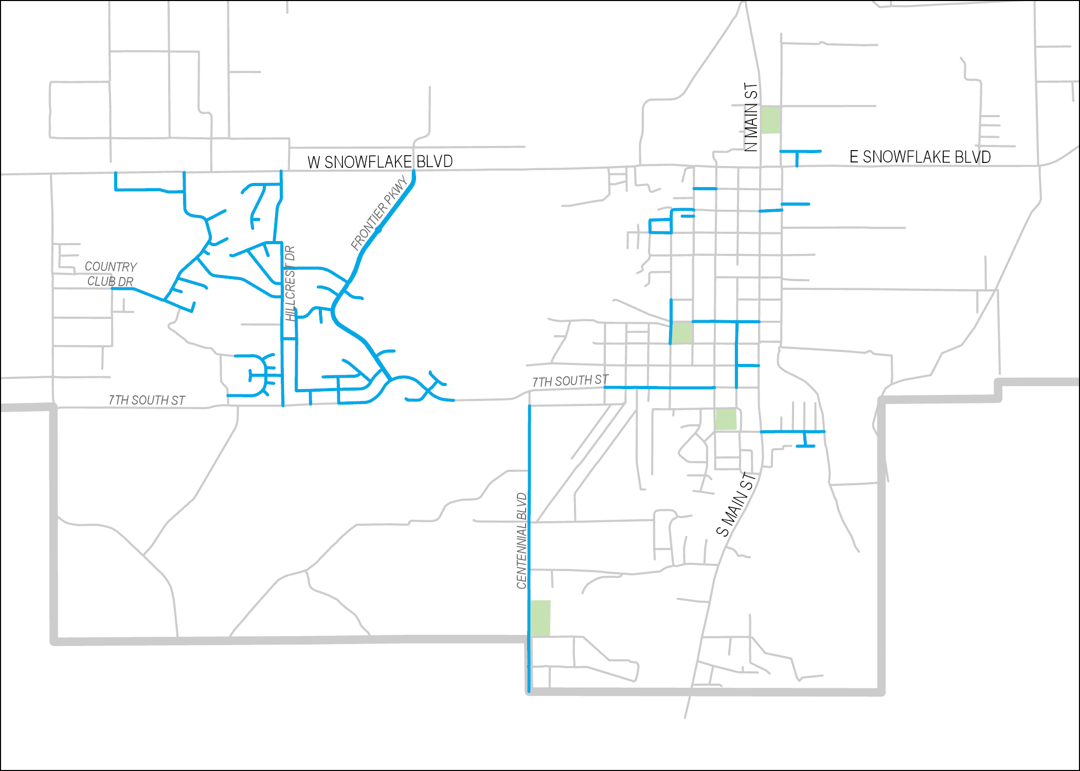
‘The Northern Solution’ is a portion of the Town of Snowflake’s Drainage Master Plan. We were approached by the Town of Snowflake to map the area with UAV technology before excavation began on site. Using photogrammetry on the photos taken from the air, we generated multiple data products including aerial imagery, a digital elevation model, […]
Public Works
Maps in Master Plans
Master Plans play a key role in the sustainability and growth of communities. They are used to articulate current and future infrastructure needs, lay out maintenance plans, reduce/eliminate flooding conditions, and predict economic growth. Our long-standing relationship with the Town of Snowflake has given us several opportunities to contribute maps to an assortment of master […]
Assessing Pavement Conditions
Pavement Inspector is an Android application built in collaboration with the Town of Snowflake’s Engineer and Public Works Director. The app walks users through a form for scoring the condition of a pavement segment according to several distress categories (on a scale of 1 to 5). It also asks users to give ridability and weathering […]

