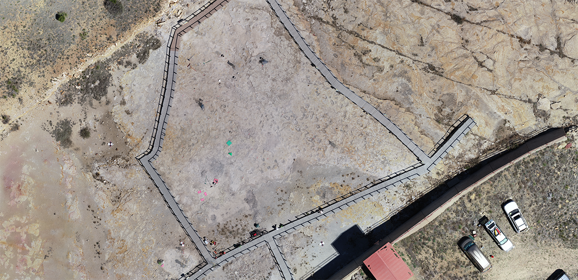
The Clayton Lake Dinosaur Tracks Project (CLDTP) project was a one week collaboration between Central New Mexico Community College (CNM), NM Natural History Museum, and NM State Parks. The team cleaned, mapped, and built three-dimensional models of the dinosaur tracks using aerial and terrestrial photogrammetry. Smallmelo’s Melo King participated in the event as a student […]
Implementation
Browse geospatial systems we’ve built
Supporting Small Water Systems
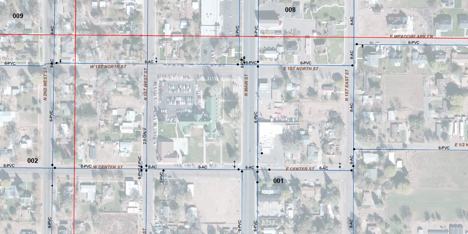
Water masters are overworked and under-appreciated. Having a geographic information system (GIS) of your delivery system helps ensure sustainability of the system long term, and gives your water master a chance to retire.
Map-based Cemetery Management
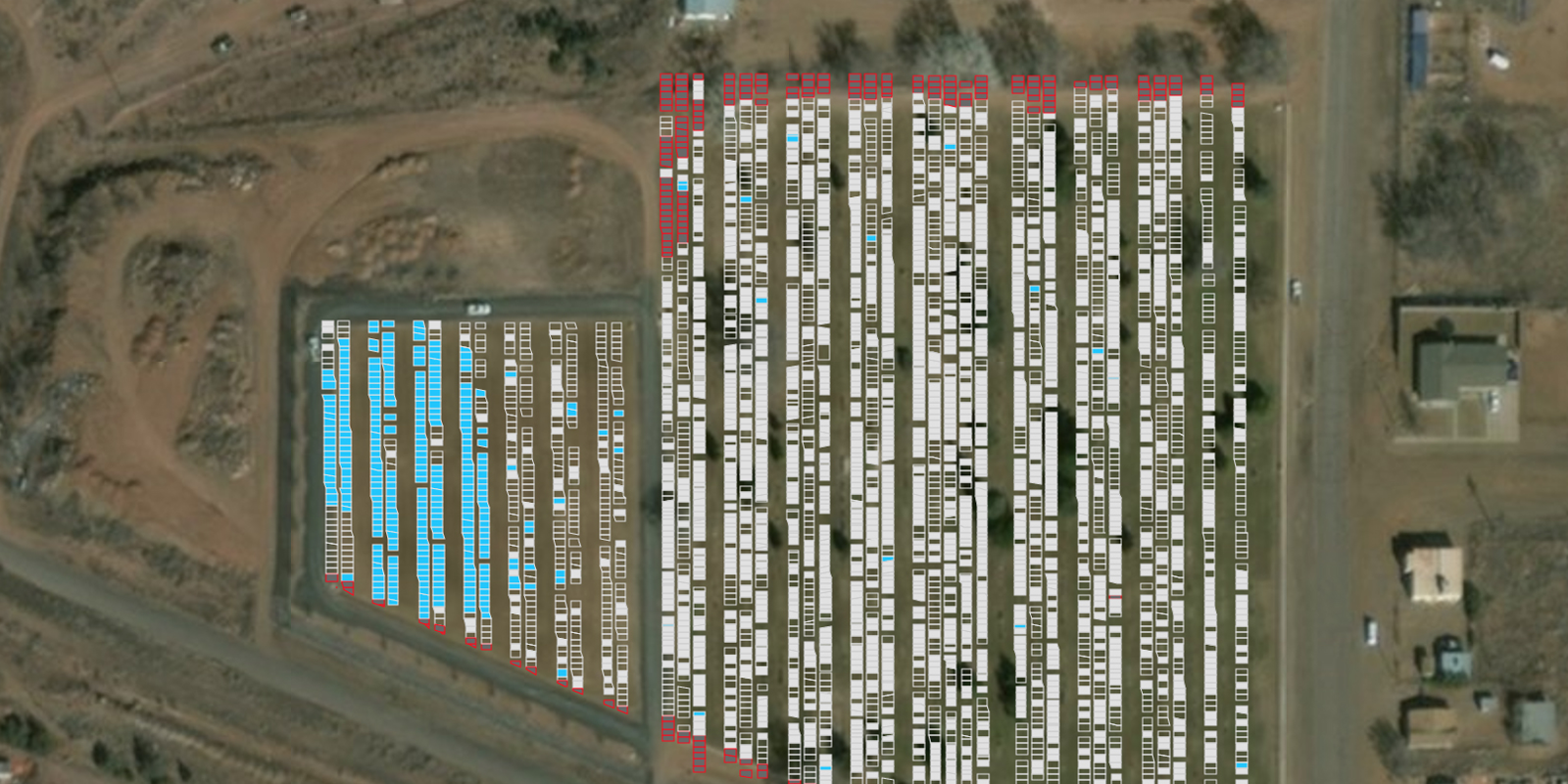
The Town of Taylor’s cemetery has been managed by the same person for decades and they were ready to retire. We were asked to help them move to a new map-based system that would be easier for someone else to take over.
Maps in Master Plans
Master Plans play a key role in the sustainability and growth of communities. They are used to articulate current and future infrastructure needs, lay out maintenance plans, reduce/eliminate flooding conditions, and predict economic growth. Our long-standing relationship with the Town of Snowflake has given us several opportunities to contribute maps to an assortment of master […]